 geocatalogue.geoportail.lu
Environment>Forests
Type of resources
Available actions
Topics
Keywords
Contact for the resource
Provided by
Groups
Years
Representation types
Update frequencies
status
Scale
-
The certification of forests is an instrument of voluntary market to promote the sustainable management of forests. The main object is the appreciation of the criteria of sustainable management. The certification proves the conformity of a product, the product "wood", with standards expressed of sustainable management through independent assessors and thanks to continuous revisions. Two systems of certification, FSC® and PEFC, are active in Luxembourg. The choice of a system falls individually to every forest owner.
-
The map of the protected natural forests in the Grand-Duchy of Luxembourg is the result of a cartography of private and public forests in the framework of which data on forest formations protected under article 17 of the amended law of the 19th January 2004 concerning the protection of nature and natural resources (Nature Protection Law) were collected. The cartography was compiled in 2014 and is based on phytosociological field inventories of all the forest formations in the Grand-Duchy, realised during the years 1992-2002. None of the data collected and mapped between 1992 and 2002 have been updated by further inventories or by verification in the field. The “2014” map of protected natural forests thus reflects the situation as recorded during the years 1992-2002. Due to natural developments and changes induced through forest management since the original inventories (around 20 years ago), the actual situation encountered in the field today can differ from that shown in the “2014” map. The map can therefore only serve as a support tool for forest owners in the framework of article 17 conform forest management of natural forests protected by Nature Protection Law. In any case, the information it contains must be confirmed and, if necessary, updated in the field. Some protected forest formations have not been mapped in the original cartography and are therefore not represented in the simplified map: i.e. forest borders, copses and conversion or transformation states of coppice to high forest. Neither are small-area biotopes such as sources, natural ponds, rock formations, and so on represented on the map. They are nevertheless subject to protection under article 17 of the Nature Protection Law. All forest formations that are not protected under article 17 figure on the map as seen on the topographic maps of the Administration du Cadastre et de la Topographie. The guidance and best practice note ("Leitfaden für forstliche Bewirtschaftungs- und Pflegemaßnahmen von geschützten Waldbiotopen"), available online on the site of the Ministère du Développement Durable et des Infrastructures (http://www.environnement.public.lu/forets/dossiers/pfn/documents/Leitfaden_7_11_2014.pdf ), contains forest management recommendations helping to avoid the destruction, deterioration or degradation of the protected forests.
-
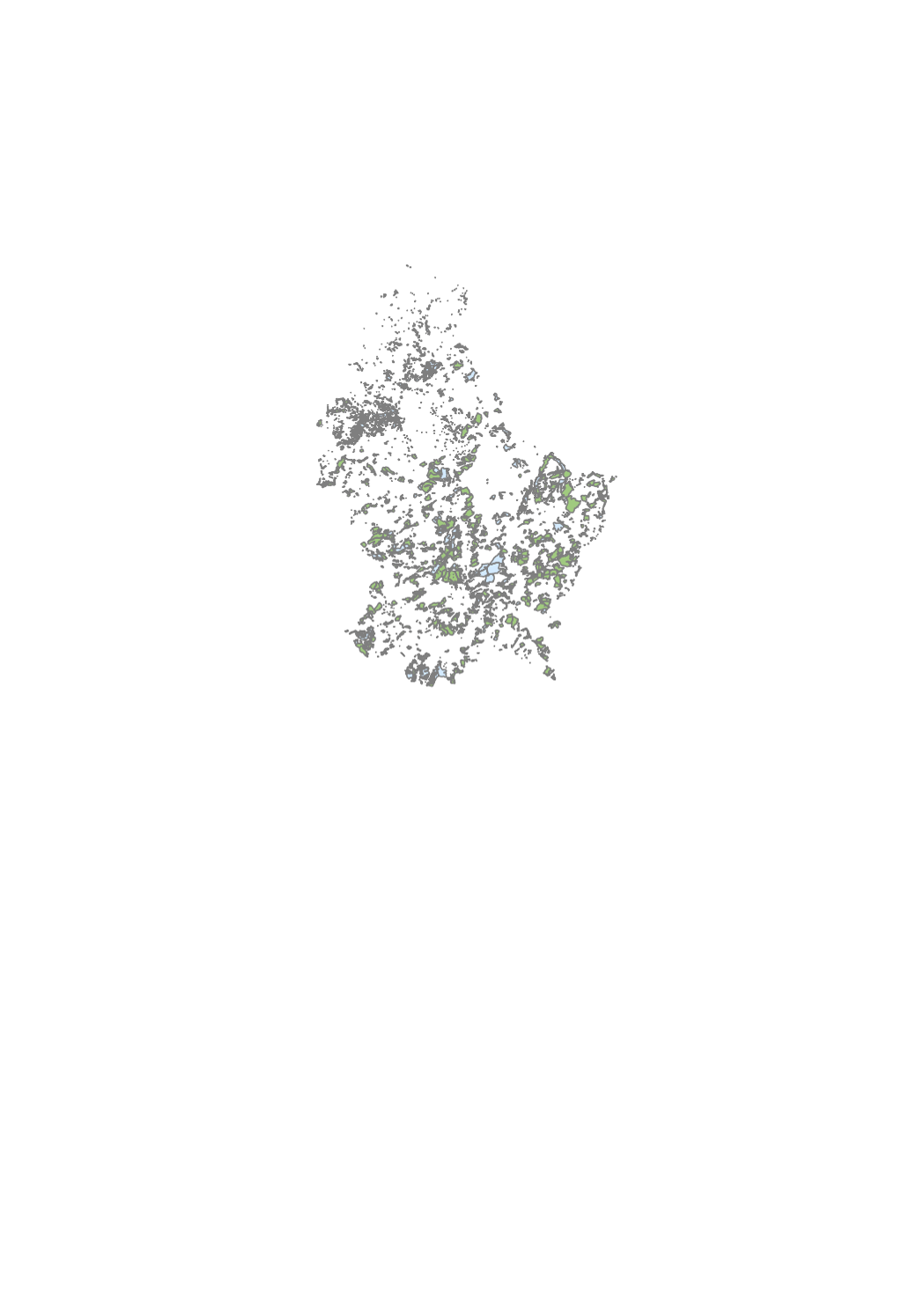
This layer contains the protected forest biotopes
-

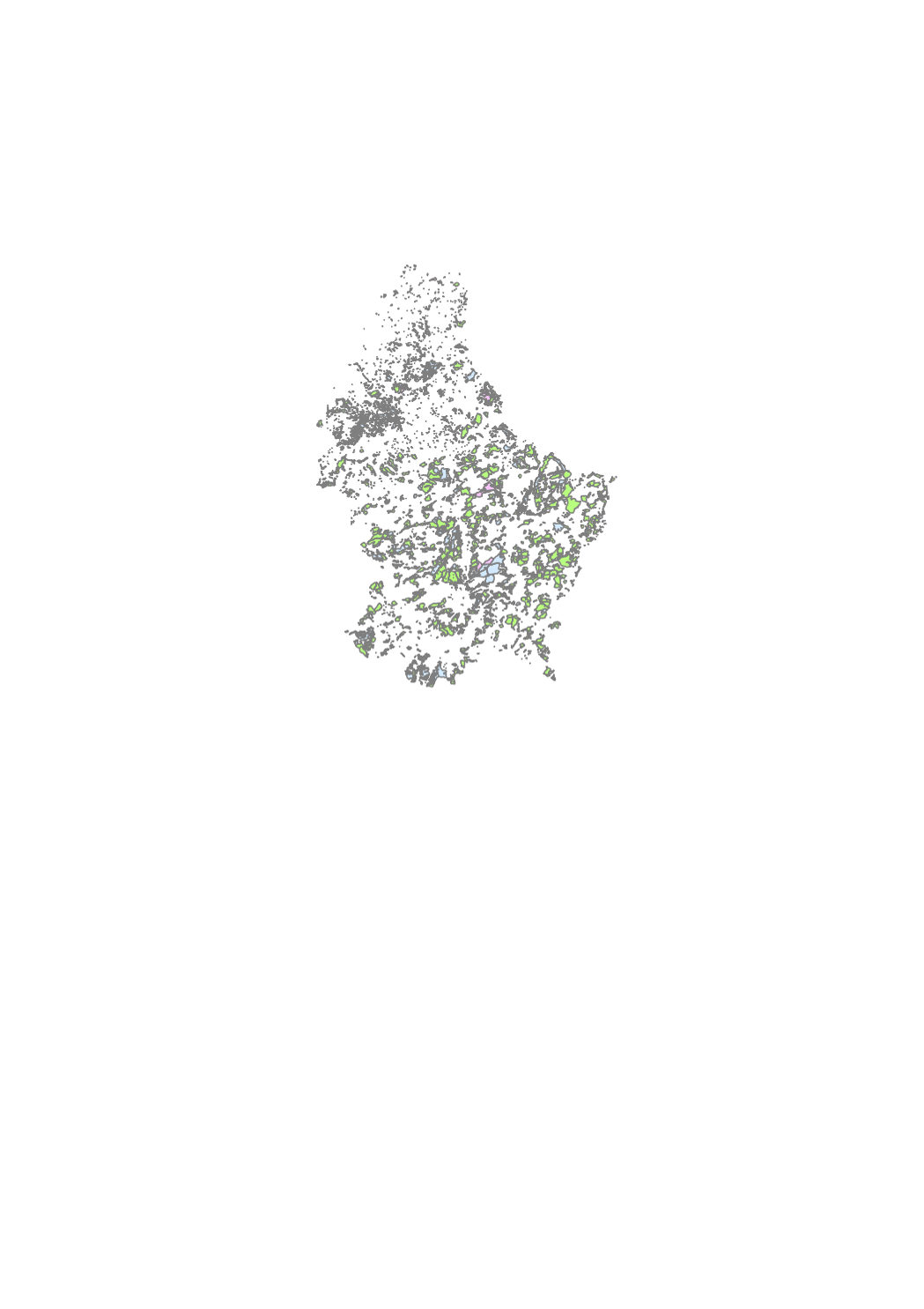
Tree population of the municipal, state and public forest ownership specified by main tree species and age classes, units of inventory.
-
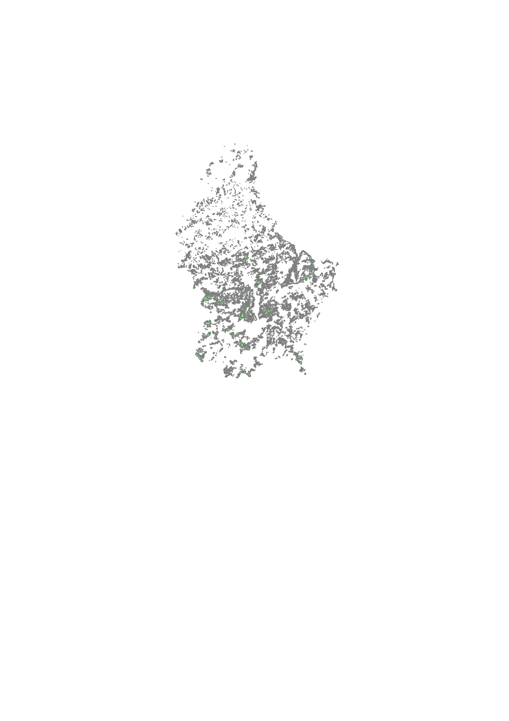
Delimitation of the municipal, state and public forests. This layer is updated every 6 months.
-
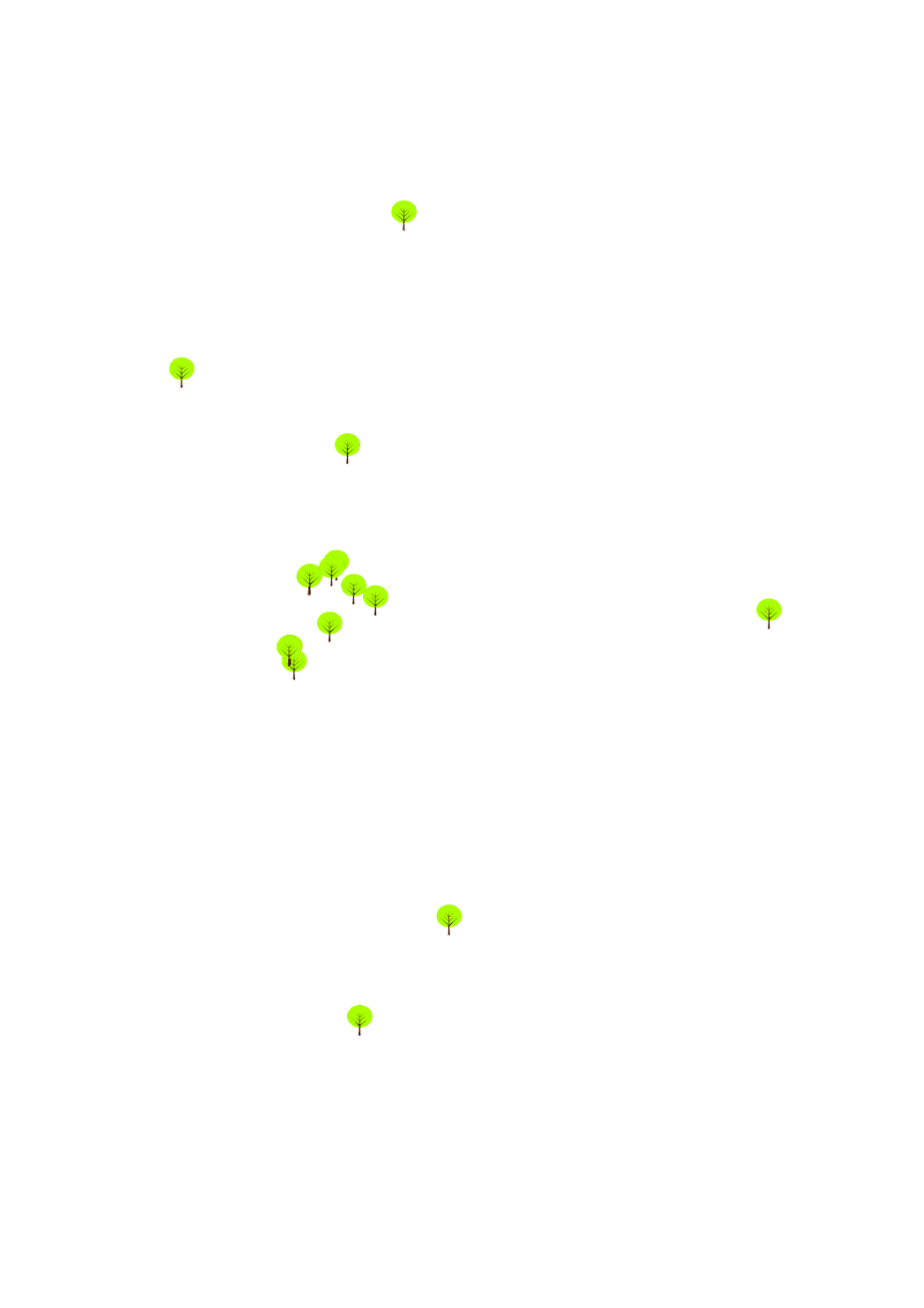
Remarkable trees who figure on the list of the subsidized trees in the context of the grand ducal regulation of 18th march 2008 concerning the subsidy for amelioration of natural environment.